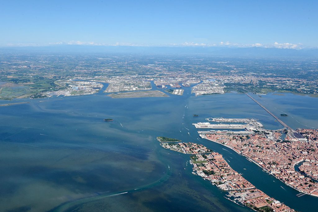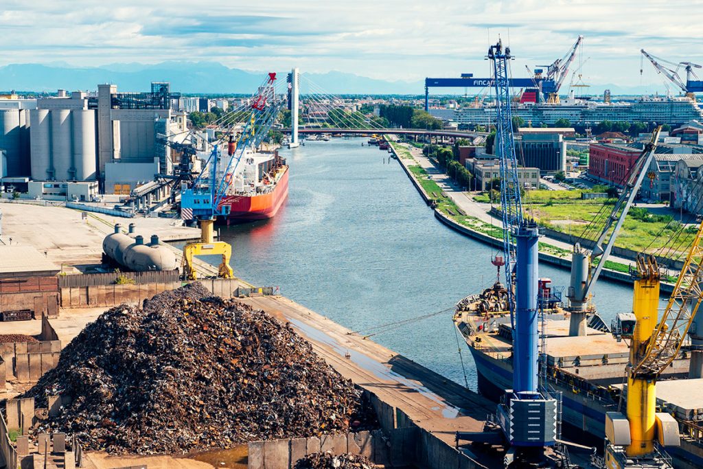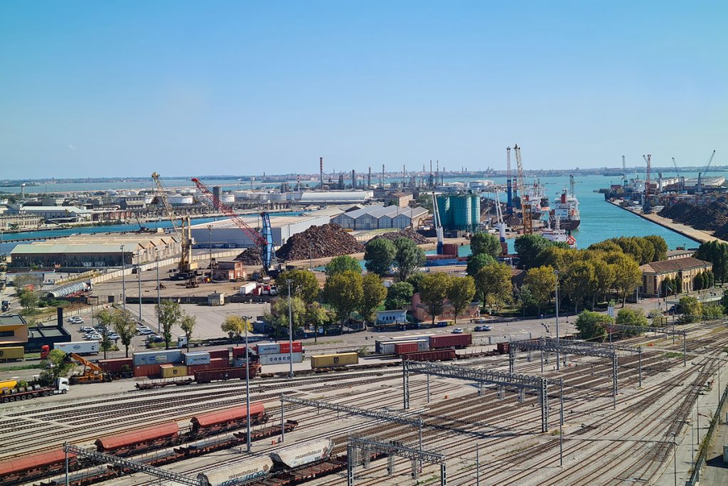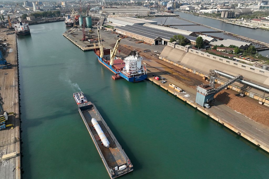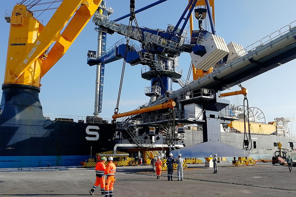
The Port of Venice can rely on a strategic position at the top of the Adriatic Sea, at the intersection of two European transport corridors, the Mediterranean and the Baltic-Adriatic, and it serves as a terminal for the Motorways of the Sea of the Eastern Mediterranean.
Port in Numbers
The Port of Venice covers a total area of over 2,045 hectares, which is equivalent to 5% of the entire city of Venice and 11% of the urbanized municipal territory.
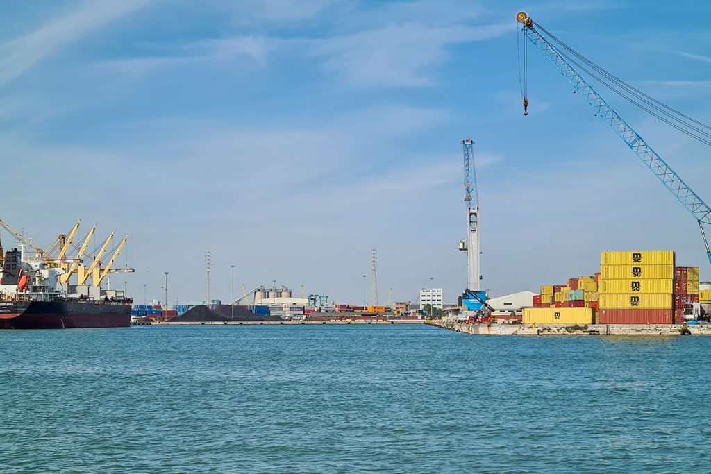
Inside the port, there are over 30 kilometers of quays, with 163 berths organized through 27 terminals, including commercial, industrial, and passenger terminals.
The port consists of two main areas:
the Porto Marghera area, where logistics, commercial, and industrial activities take place;
the Venice area, primarily developed in the Marittima area and smaller berths, where passenger activities for cruise ships, hydrofoils, and yachts are carried out.
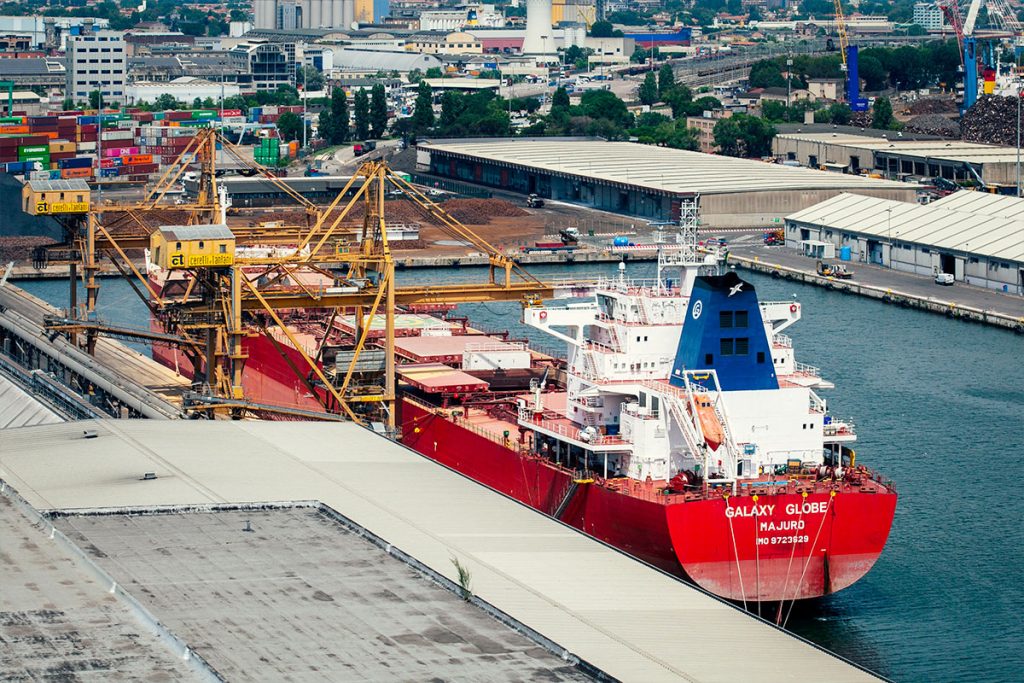
Porto Marghera covers over 1,447 hectares of industrial, commercial, and tertiary operational areas, with over 662 hectares of canals, basins, roadways, and railways. It is served by 12 kilometers of active quays accessible to ships with a draft of up to 11.5 meters. Inside the Porto Marghera area, there is a dense network of service infrastructure, including road connections (40 kilometers), railway tracks (over 135 kilometers), and optical fiber (7 kilometers).
The Venetian area, dedicated to passengers, extends over an area of over 26 hectares, including 4.73 hectares of covered areas and 12.37 hectares of water basins in the Marittima basin.
The Fusina ferry terminal covers 36 hectares and has 4 berths.
It is estimated that approximately 1,200 companies are directly employed in Venice, and when combined with the over 300 companies in Chioggia, there are a total of around 21,175 employees.
The companies involved with the Port of Venice generate an estimated direct production value of 6.6 billion euros, accounting for 27% of the municipal economy and 13% of the metropolitan economy.
The history of the Port of Venice
The history of the Port of Venice is a millennia-old tradition.
The Port of Venice is located at the mouth of the Po Valley, not far from the Alpine passes that connect the Mediterranean world with Central Europe. A thin coastal strip interrupted by Lido, Malamocco, and Chioggia inlets protects it from the sea.
For centuries, the main access points were the Lido inlets and the San Nicolò canal. Consequently, the initial places for receiving ships were centered around the island of S. Elena.
From the second half of the 16th century, all the canals, particularly the San Nicolò canal with the Lido harbor mouth, underwent a process of silting, which, in 1726, led to the excavation of the S. Spirito canal to allow ships to reach the Port of Venice, now located at San Marco, from Malamocco.
Maritime trade expanded, evolving into specialized commerce with the East and the Western Mediterranean. The city thus became a major port establishment, with its heart in the San Marco basin, in front of the Doge’s Palace.
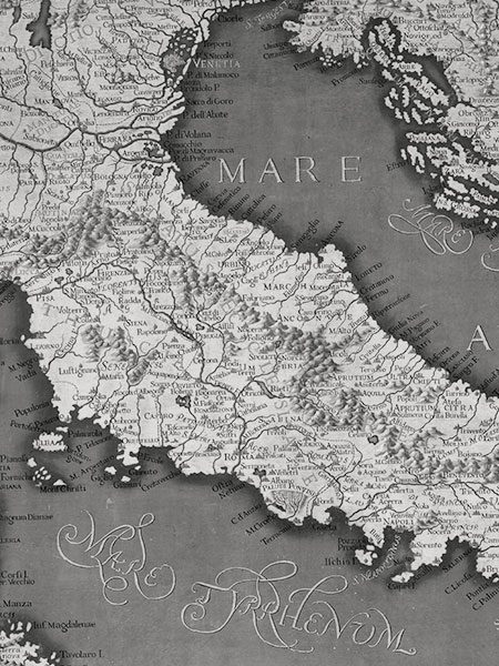
The history of Venice is inseparably linked to the millennia-old history and tradition of its port, the root of its artistic splendor and wealth, documented since the 6th century AD.
The development of the port in its current form
With the end of the Republic and throughout the first half of the 19th century, the situation of the Venetian port became increasingly difficult due to the absence of port facilities, road, railway, and waterway connections with the hinterland. The harbor mouths of Lido were partially or completely silted, and the port structures were inadequate.
In 1846, the trans-lagoon railway bridge was inaugurated. In 1869, the construction of the new Maritime Station in the Santa Marta area began and was completed in 1880, forming the first nucleus of the new port, connected to the mainland via a railway bridge leading to Santa Lucia station (the latter constructed starting from 1860).
The construction of the Maritime Station and adjacent port facilities resulted in the shift of commercial port traffic from the San Marco basin to the western area of the city, marking the beginning of a new economic cycle for Venice and the end of the long stagnation of the 19th century.
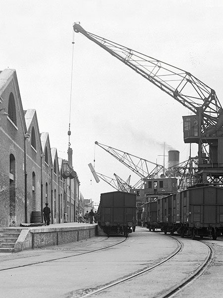
The development of the trans-lagoon railway bridge and the Maritime Station marked the end of the long period of 19th-century stagnation and the beginning of a new economic era for Venice.
The Birth of Porto Marghera
Just two decades after its construction, the Maritime Station became inadequate to handle the greatly increased naval traffic, primarily due to industrial development on the main island and especially on Giudecca.
The area known as Bottenighi (later named Porto Marghera) was identified to accommodate the new port facilities.
The creation of a mainland port basin represented the final stage of the shift of port activities to the west, which began with the construction of the trans-lagoon bridge and continued with the construction of the Maritime Station. Porto Marghera was established in 1917 following an agreement between the State, the Municipality, and the Porto Industriale Company chaired by Giuseppe Volpi.
The development of the commercial port, designed by engineer Coen Cagli in 1917, along with the rest of the first industrial zone, occurred in various phases. According to its promoters, Porto Marghera was not only meant to serve as a port for raw materials (thus relieving the Maritime Station from excessive traffic) but also as a new industrial center.
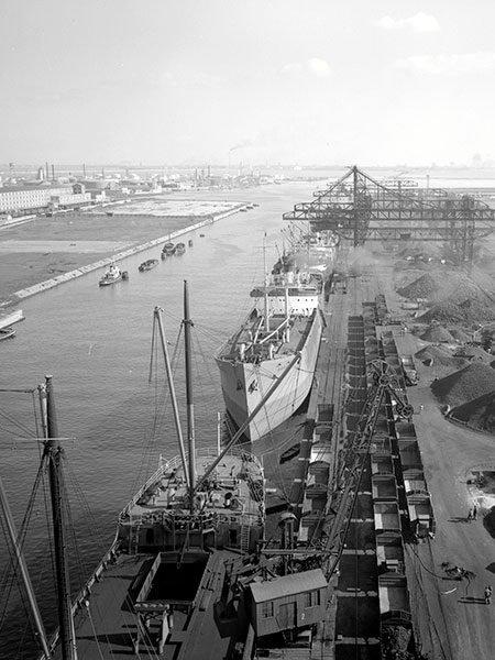
With the establishment of the commercial port of Marghera in 1917, the city of Venice became fully involved in the development of the national heavy industry.
New Interventions in the 1960s
In the 1960s, the growth of industrial traffic centered around Porto Marghera necessitated another phase of interventions.
In 1966, due to the growth of industrial traffic, the San Leonardo oil port was constructed, and three years later, the excavation of the Malamocco-Marghera canal was completed. This allowed all oil tankers to reach the San Leonardo port and industrial areas through the Malamocco harbor mouth, thus bypassing the San Marco basin and the historic city center.
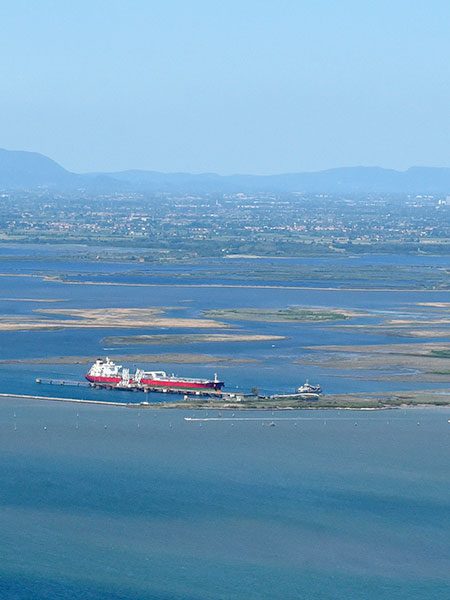
With the growth of industrial traffic, the San Leonardo oil port was constructed, and the excavation of the Malamocco-Marghera canal was completed.
Discover the operators of the Port of Venice
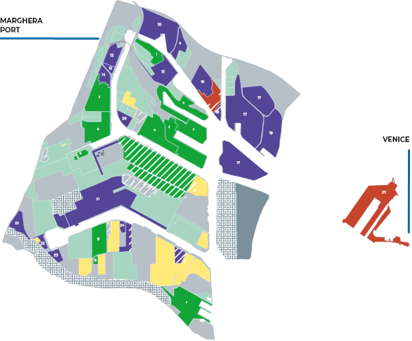
Carbones
Interporto Rivers Venezia
Multi Service
Transped
PSA Venice - Vecon
Euroports - Terminal Rinfuse Venezia
TIV - Terminal Intermodale Venezia
Decal
Venice Ro-Port Mos
Fincantieri
SIMAR - Società Metalli Marghera
Grandi Molini Italiani
Cereal Docks
Idromacchine
Acciaierie d'Italia
Pilkington Italia
Eni
Veneta Cementi
Petroven
IES - Italiana Energia e Servizi
Versalis
San Marco Petroli
Colacem
General Sistem
Venice Passenger Terminal
Commercial Terminals
1. Carbones
2. Interporto Rivers Venezia
3. Multi Service
4. Transped
5. PSA Venice – Vecon
6. Euroports – Terminal Rinfuse Venezia
7. TIV – Terminal Intermodale Venezia
8. Decal
9. Venice Ro-Port Mos
Passenger Terminal
25. Venice Passenger Terminal
Industrial Terminals
10. Fincantieri
11. SIMAR – Società Metalli Marghera
12. Grandi Molini Italiani
13. Cereal Docks
14. Idromacchine
15. Acciaierie d’Italia
16. Pilkington Italia
17. ENI
18. Veneta Cementi
19. Petroven
20. IES – Italiana Energia e Servizi
21. VERSALIS
22. San Marco Petroli
23. Colacem
24. General Sistem
